
.jpg)
GeoAtlas
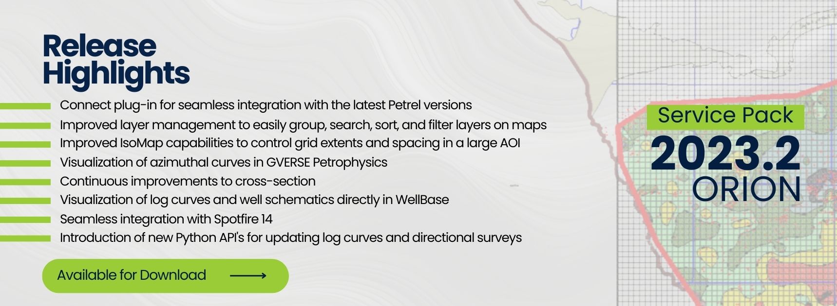
Level-Up Your IsoMaps
Enhance grid control, customize boundary polygons, and streamline IsoMap setup.
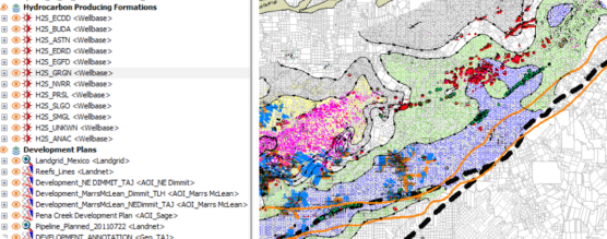
Organize layers into groups, enhance layer discovery with filters, and optimize maps with dynamic elements.
Enhance well log integration using raster names, match multiple mnemonics, and streamline UI.
Improve well layer labeling and enhance drawing precision and compatibility.
- View entity count in data attributes dialog.
- Hotkeys to create new cross sections.
- More hotkeys to open wells in other GeoGraphix applications.
- Bug fixes.
Data Management & Mapping
Higher Precision & New Fields
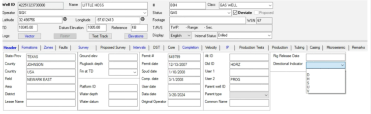
Enhance data capture with detailed well headers, add precision to core data and locations with new text fields and improved lat/long accuracy.
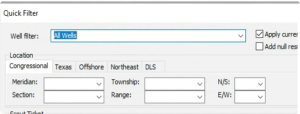
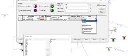
Introduce new set operations to subtract filters, identify wells matching specific criteria, and update caches.
ZoneManager Improvements
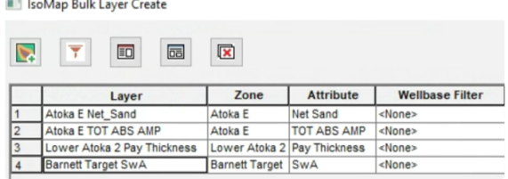
Boost IsoMap layers with wellbore sampling, bulk imports, and customizable layer creation; expand text attributes to 256 characters.
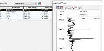
Assess log data quality with the built-in viewer in WellBase and view well summaries with schematics for quick data overviews.
- Connect to Spotfire v14.
- Support for New Coordinate Systems.
- Log out of project extent wells for easier QC.
- Support for European decimal character.
- Highlights to indicate availability of log data.
- Bug fixes.
GVERSE Geo+
Powerful Additions to Cross Section
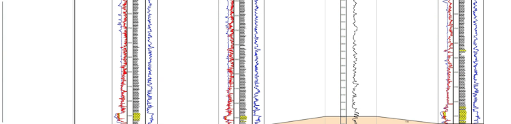
Quickly access log values with the new readout window, enhance control with visibility settings, snap picks, save line definitions, adjust exaggeration dynamically, and select rasters interactively for tracks.
Seamless Integration
Simplify workflows with the Interpretation Browser for quick transfer of cross sections and templates, and directly edit or update all layer types from the Geo+ map.
- Add multiple wells from map to cross sections.
- Distance measurement tool.
- Performance improvements.
- Bug fixes.
GVERSE Petrophysics
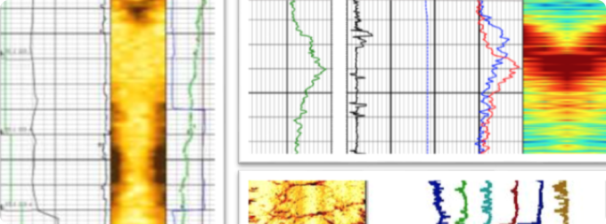
Azimuthal Curves
Display log curves with azimuthal components in the new color-filled array curve track.
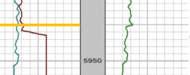
Graphical Curve Splice
Splice curves directly on the log template and visually specify splice depths.

Area Fills on Depth Intervals
Confine your area fills to specific depth intervals, ensuring only the intended zones are targeted.
- View entity count in data attributes dialog.
- Hotkeys to create new cross sections.
- More hotkeys to open wells in other GeoGraphix applications.
- Bug fixes.